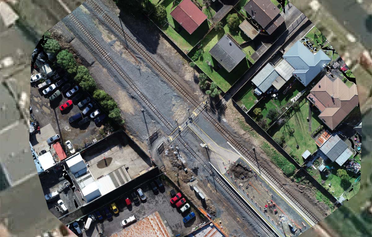
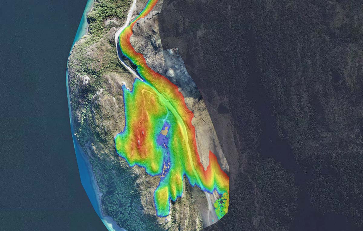
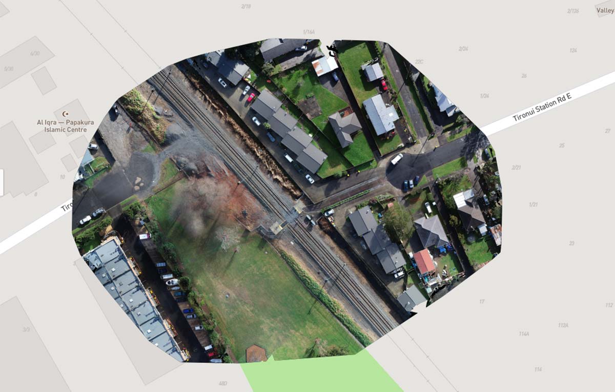
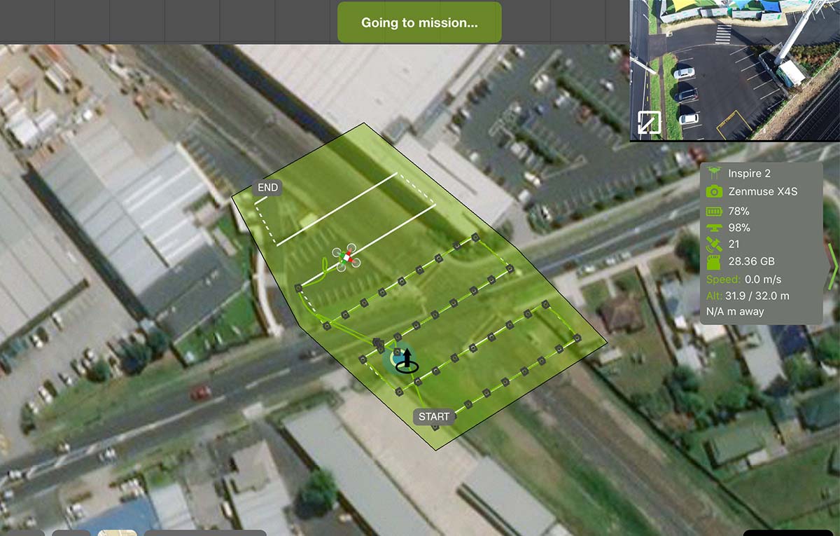
If you are looking for two and three dimensional representations of your asset or project we have the right team to provide safe, accurate and cost effective outcomes. FlyUAV Aerial Specialists are trained in methods to provide accurate georeferenced data sets for your projects. Our team uses the latest in technology that ensures the outcomes are correct and repeatable throughout the course of the project.
If you are looking to inspect your assets quickly and efficiently with the minimal of fuss then our Aerial specialists can help. Whether we are carrying our works in the Visible or Thermal Spectrum FlyUAV can assist you to achieve the results you are looking for.
Unlike many Drone operators, FlyUAV are specially trained to provide accurate and correct reports of all the data that we collect. Using Qualitive and Quantitive processes we assist you to made decisions to classify faults and set repair priorities.
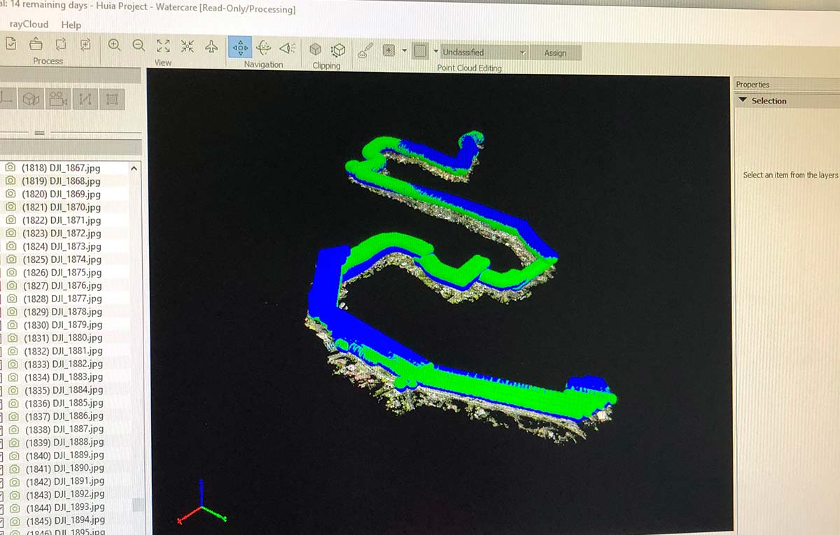
Modeling is done in-house for mapping projects. This not only speeds up the delivery time but also ensures that nothing is lost in translation between the data collectors and the processors. FlyUAV uses Pix4D as our tool of choice.
Please get in touch to discuss your needs and see how we can help you.
Rapid Target acquisition is often an important part of any surveillance project. Using Drones is a key part of this process as it removes the need to be to close to the operation, it can provide a wide coverage area and assist with both locating and providing evidentiary information. FlyUAV Aerial Specialists work closely with law enforcement and government departments to help keep New Zealand safe. Please get in touch to discuss your needs and see how we can help you.
FlyUAV is also involved with fisheries and conservation activities across the Pacific.
Condition Monitoring puts you in the driving seat to actively prevent breakdowns and optimise maintenance resources where and when they’re needed.
FlyUAV Aerial Specialists are trained to conduct baseline surveys and data collection processes using a mixture of Qualitive and Quantitive processes we assist you to made decisions to classify faults and set repair priorities.
Maintaining your assets in what is becoming a dangerous and difficult world with the HSWA especially if working at height the drone has become a necessary tool. FlyUAV trained operators ensure that the data collected is not only accurate but also repeatable to ensure that your assets continue to be safe and functional. Please get in touch to discuss your needs and see how we can help you.
Thermography is a specialised type of work that should only be carried out by trained professionals. It is very easy to misunderstand and mislead outcomes which is why FlyUAV Aerial Specialists are trained ISO thermographers.
Thermography is an important tool for Inspection, Surveillance, Condition Monitoring industries because it is non-contact, two dimensional and instant.
The uses for Thermography are wide and varied from Electrical and Solar, Mechanical, Building, Search and Rescue, Stock Monitoring, Agricultural, Preventative and Reactive Maintenance to name just a few.
The most important part is to engage with trained and competent operators that use the right equipment for the task at hand.
FlyUAV is currently engaged with Electrical, Solar, Building, Agricultural and Serviellance projects around New Zealand and the Pacific.
FlyUAV exclusively uses FLIR Imaging Cameras.
